The OMARE project: Assessing the biodiversity of a 75 Km² littoral park.
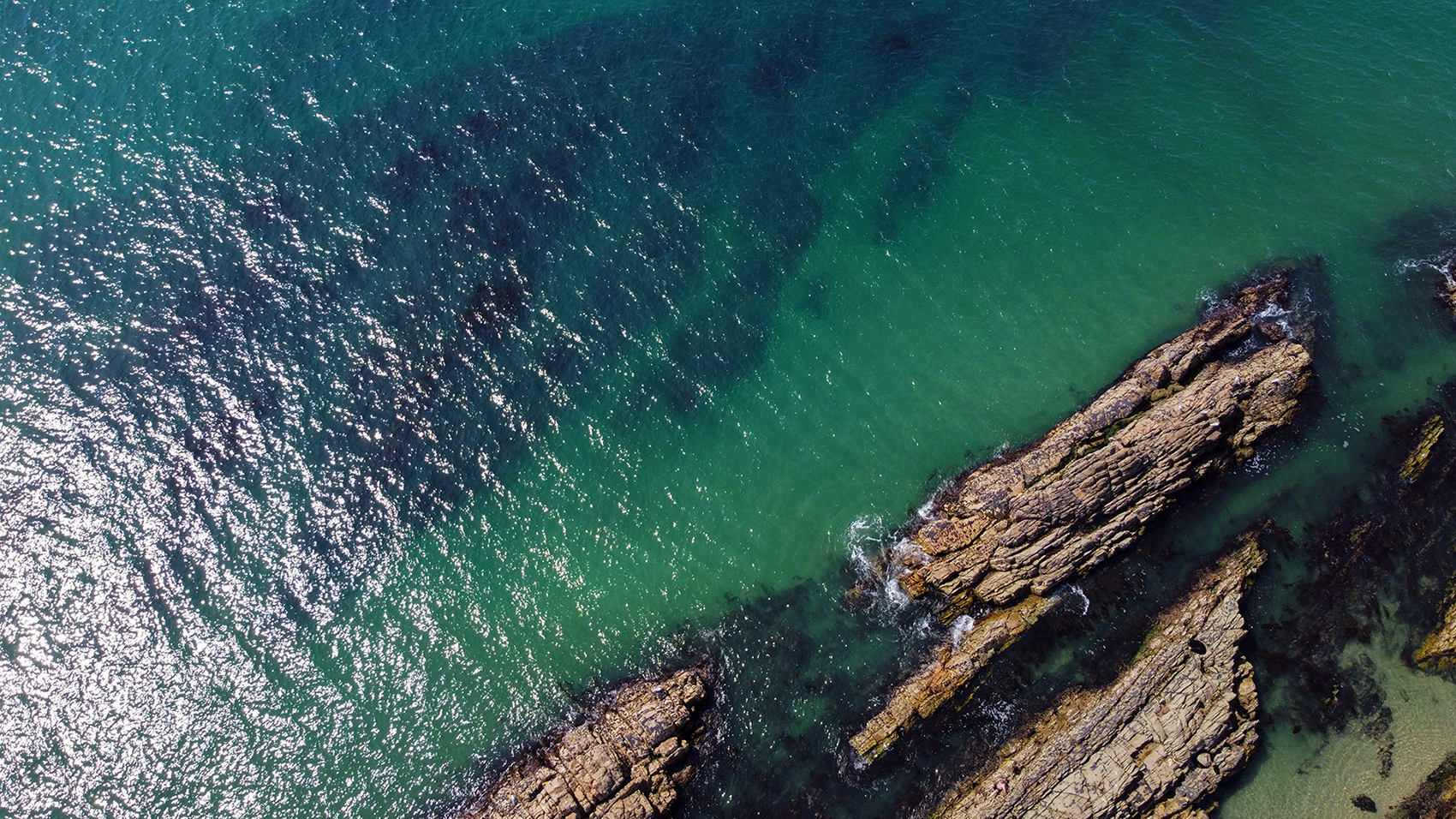
The OMARE (Esposende Marine Observatory) aims to assess the biodiversity of the North-Littoral Natural Park, in the coast of Esposende, in Portugal. This is a very dynamic and diverse coastal area, known for its strong winds and waves, covering approximately 75 square kilometers, 70 of which are submerged. To create an initial geomorphological and biological picture of its present state, LSTS was tasked to survey the entire park, both from air and under the water, to help classify all the habitats present in the park. A total of 50 days of operation were needed to survey the entirety of the park, using UAVs and/or AUVs.


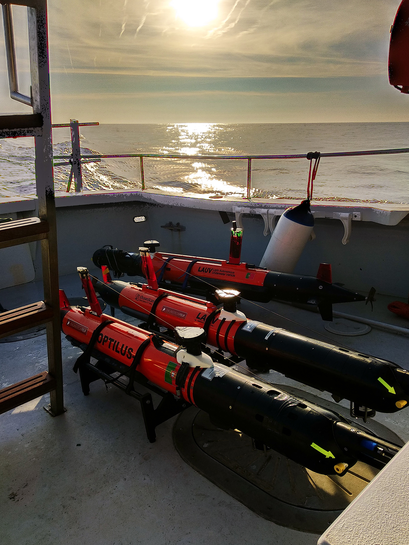
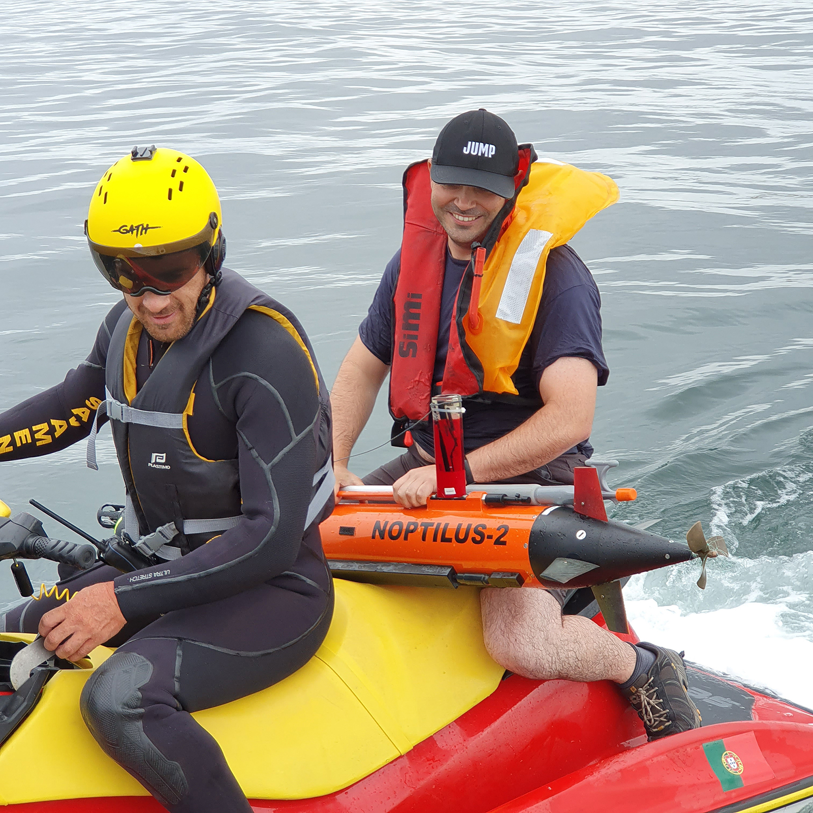
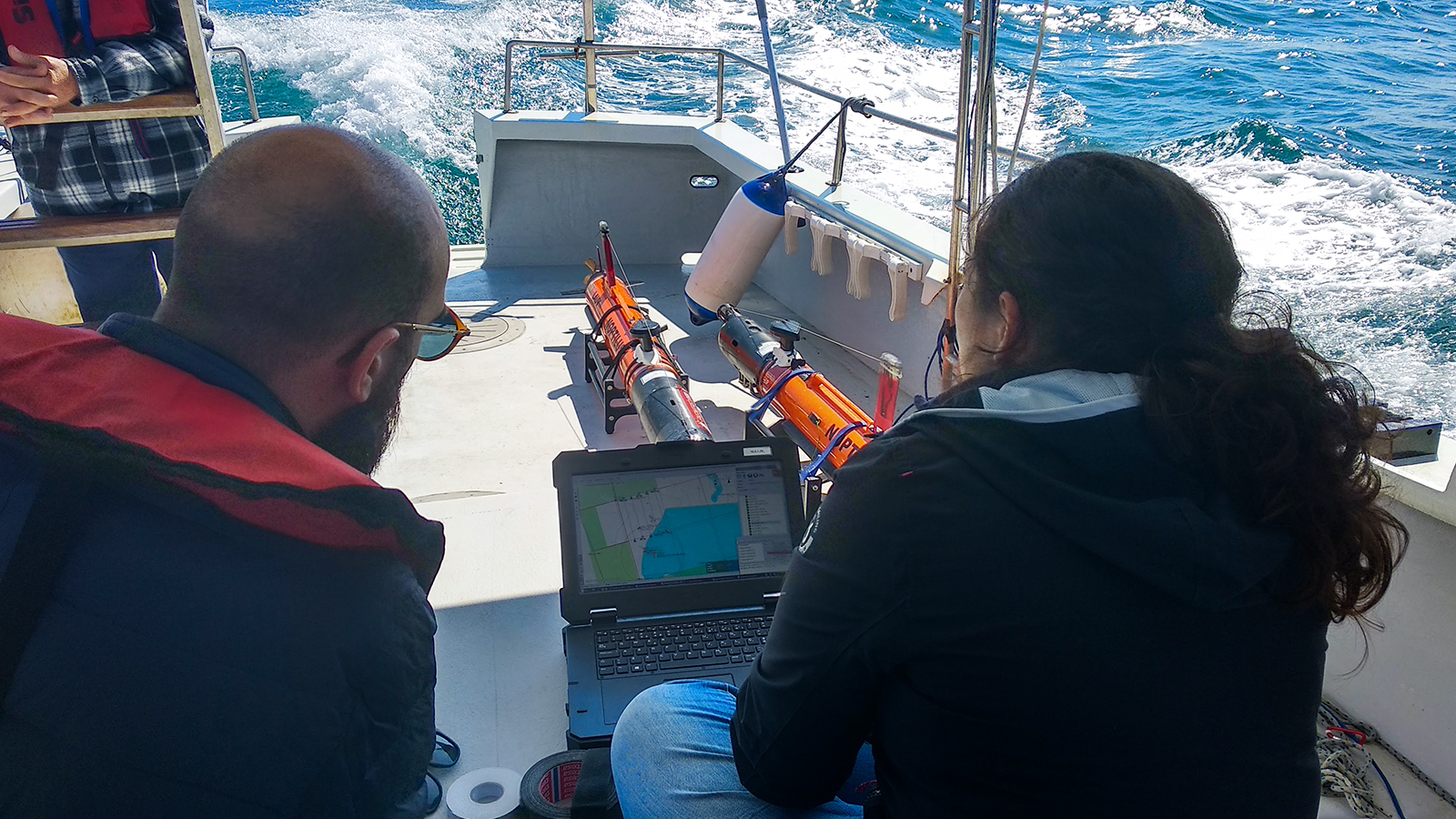
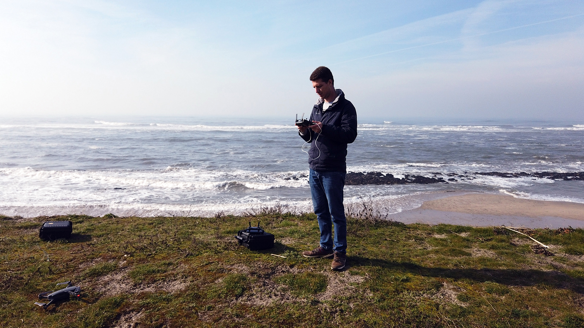
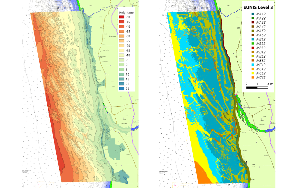
Due to the sheer size of the park, creating a complete picture of what exists under the surface was only possible by using a combination of multi-robot surveys and automatic classification. In the air, we used two drones simultaneously to obtain orthophoto maps as quickly as possible during low tide. Under the water, multiple AUVs were used simultaneously to take picture samples of the bottom and complete sonar coverage. The pictures taken were manually classified by specialists and used later to train a Convolutional Neural Network (CNN) that classifies the sonar data according to the EUropean Nature Information System (EUNIS) standard for habitat classification, with unprecedented grid resolution.
The project has now come to its end and the results obtained using LSTS technologies will be used as a baseline for the biodiversity and geomorphology of the park.